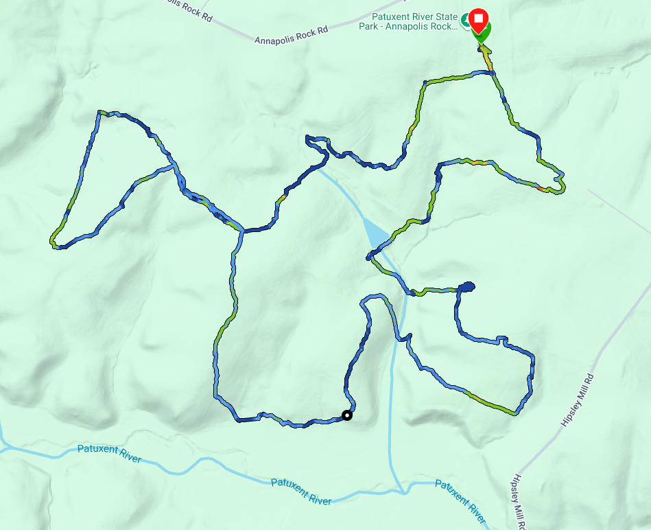
I’ve been itching to try a multi‑park activation, and this pairing seemed like one of the easier options. Clara Barton National Historic Site is contained completely within Glen Echo Park, so any activation of US‑0808 should automatically count as an activation of US‑7975 as well. Or so I thought.
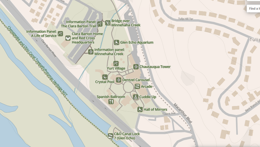
The NPS website linked from the US-7975 POTA page seems to imply these sites overlap, with the Clara Barton Historic Site located within Glen Echo Park. The NPS map for US-0808 shows no obvious boundary between them, so I felt safe setting up in what appeared to be a shared parking lot.
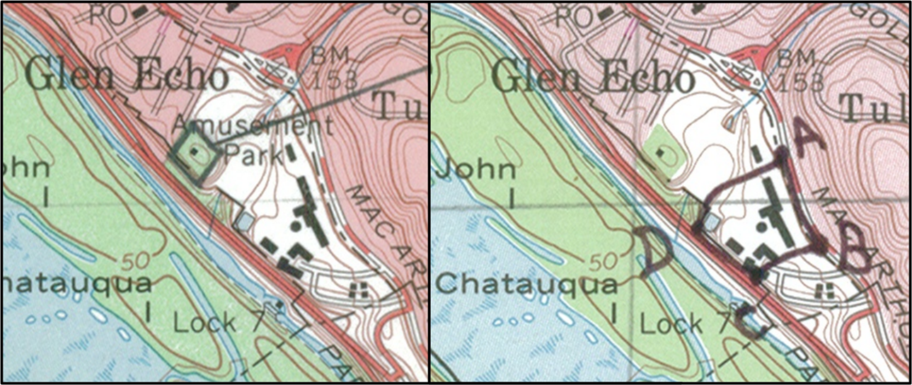
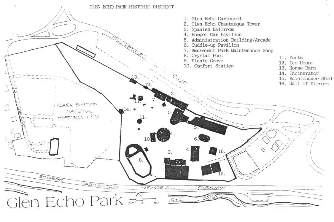
However, as I was writing this post I dug deeper into the details. Based on the publicly available National Register of Historic Places documentation for these two sites (US-0808 and US-7975), it’s less clear. In fact, the official maps show boundaries that aren’t even adjacent.
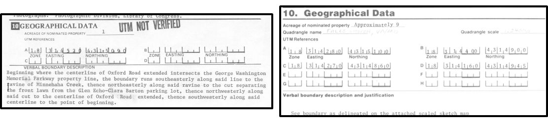
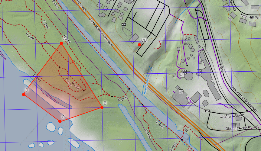
The specified UTM geographical data isn’t particularly helpful either. For the Clara Barton National Historic Site, only a single point is provided, amusingly marked as “UTM not verified”—though it does appear reasonably close to the building (labeled “CB” in the image below). The written boundary description mentions the “ravine of Minnehaha Creek” as the eastern boundary, but that’s not how it’s drawn on the map.
Digging further into the Glen Echo Park Historic District nomination reveals specific references to the pre‑existing Clara Barton Historic Site, implying they are treated as separate entities:
"Miss Barton herself acquired adjoining property at Glen Echo in 1891 and built what would later become her residence and American Red Cross headquarters. Listed separately as the Clara Barton House on the
National Register, the Red Cross headquarters was also designed in the rustic style."
"The discussion of Clara Barton, which is individually listed, may not be
relevant to the amusement park period; also, the form should make clear that Barton
property is not in this nominated district"
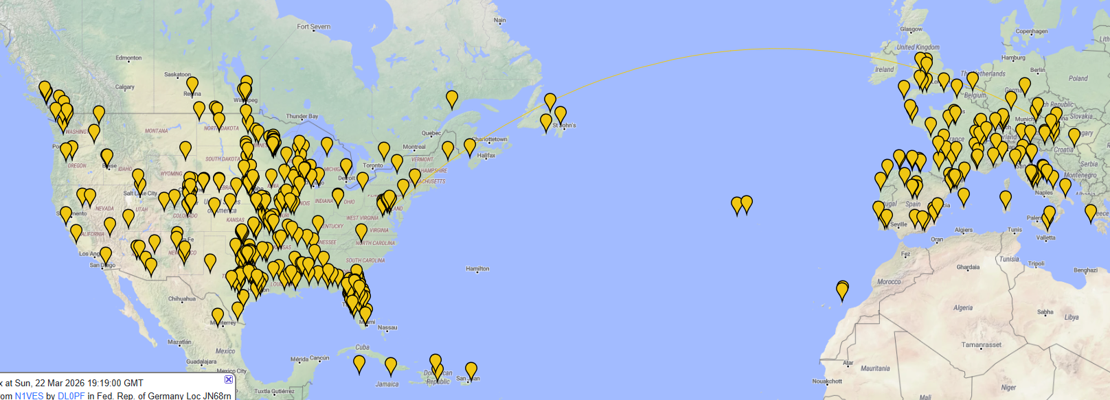
All of this suggests that, based on my activation location, I’m confident I activated US‑0808, but US‑7975, probably not. Unfortunately, I had already submitted the activator logs to POTA for both sites, so this is all academic 🤷♂️.
I'll do better next time.
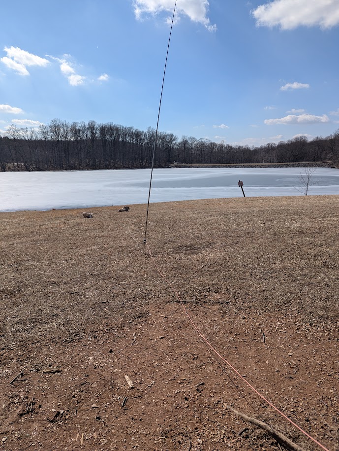
Approximate transmit location: 38.966891, -77.140447
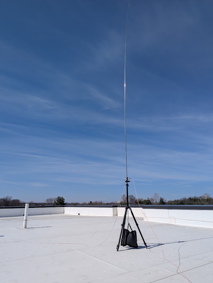
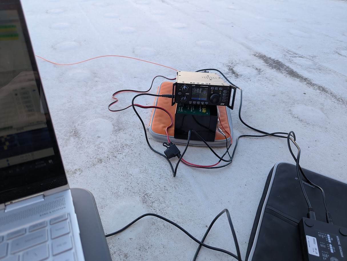
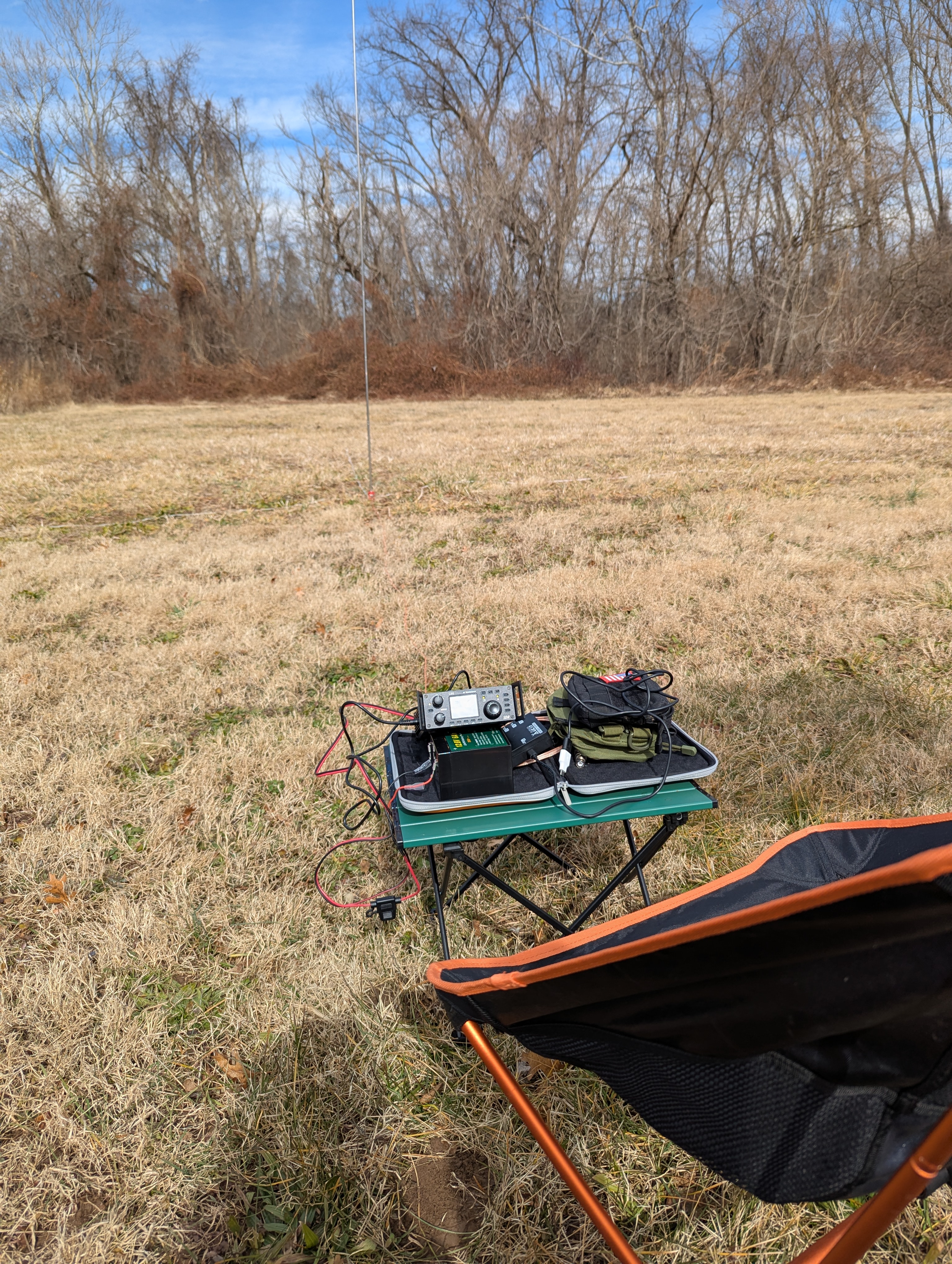
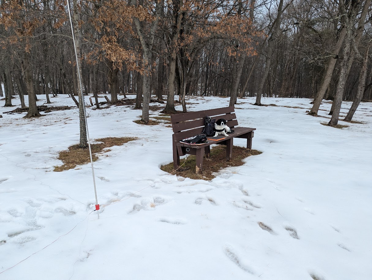
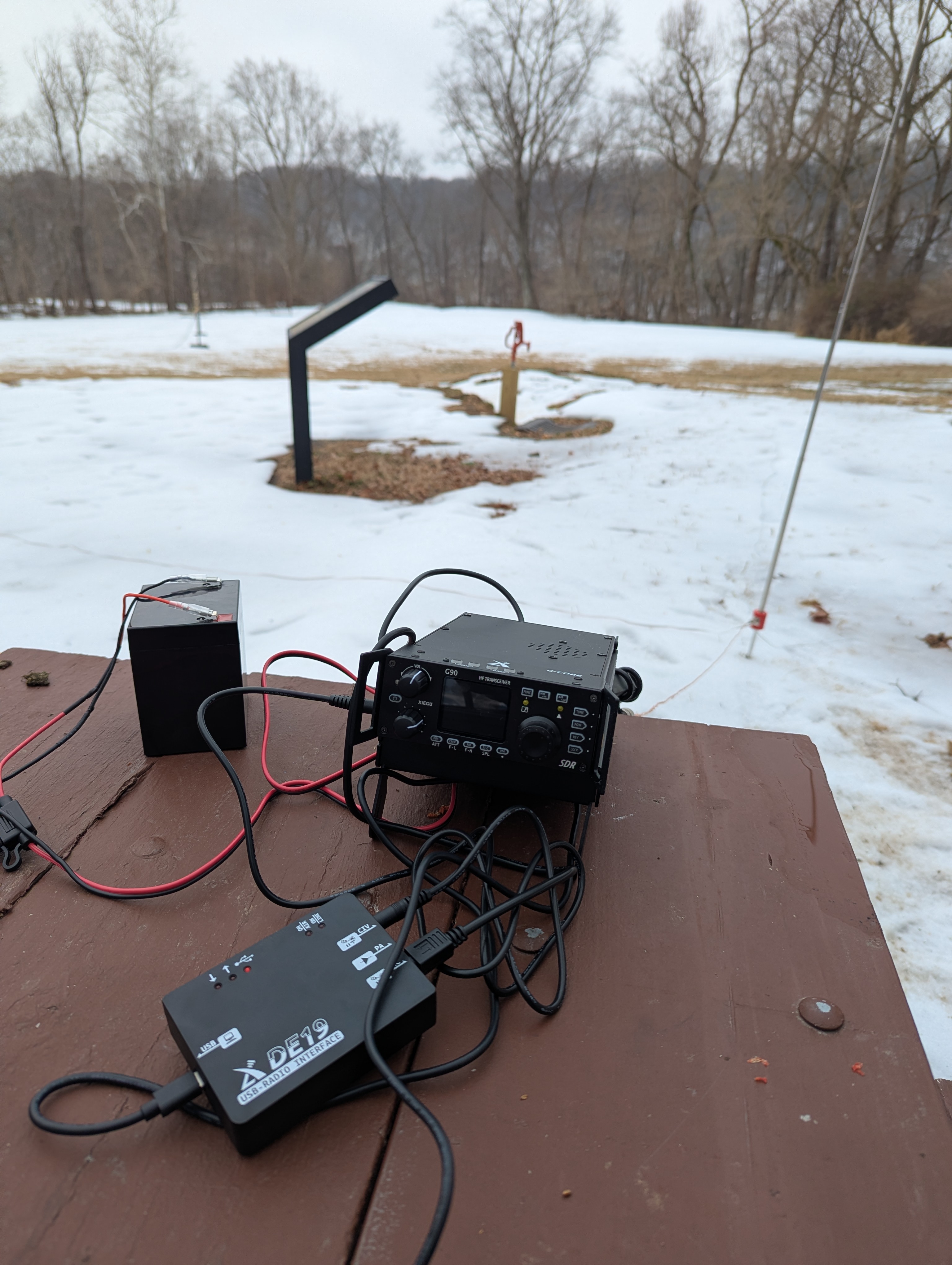
Gear: Xiegu G90 + DE-19 + 20M quarter wave whip antenna + Talentcell 12V 6Ah LiFePO4 battery
]]>